Understanding Dust Storm Risk on the Lordsburg Playa
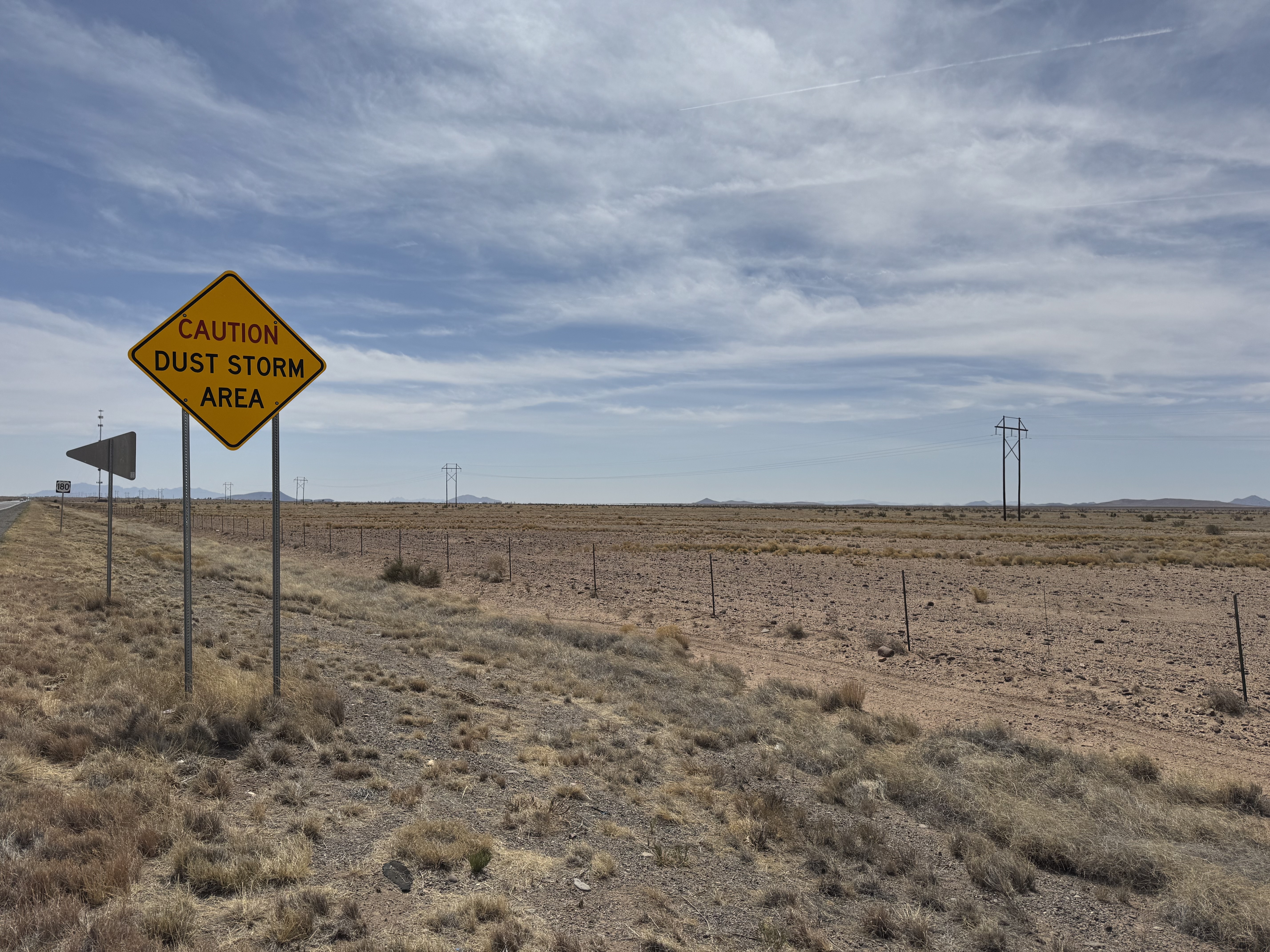
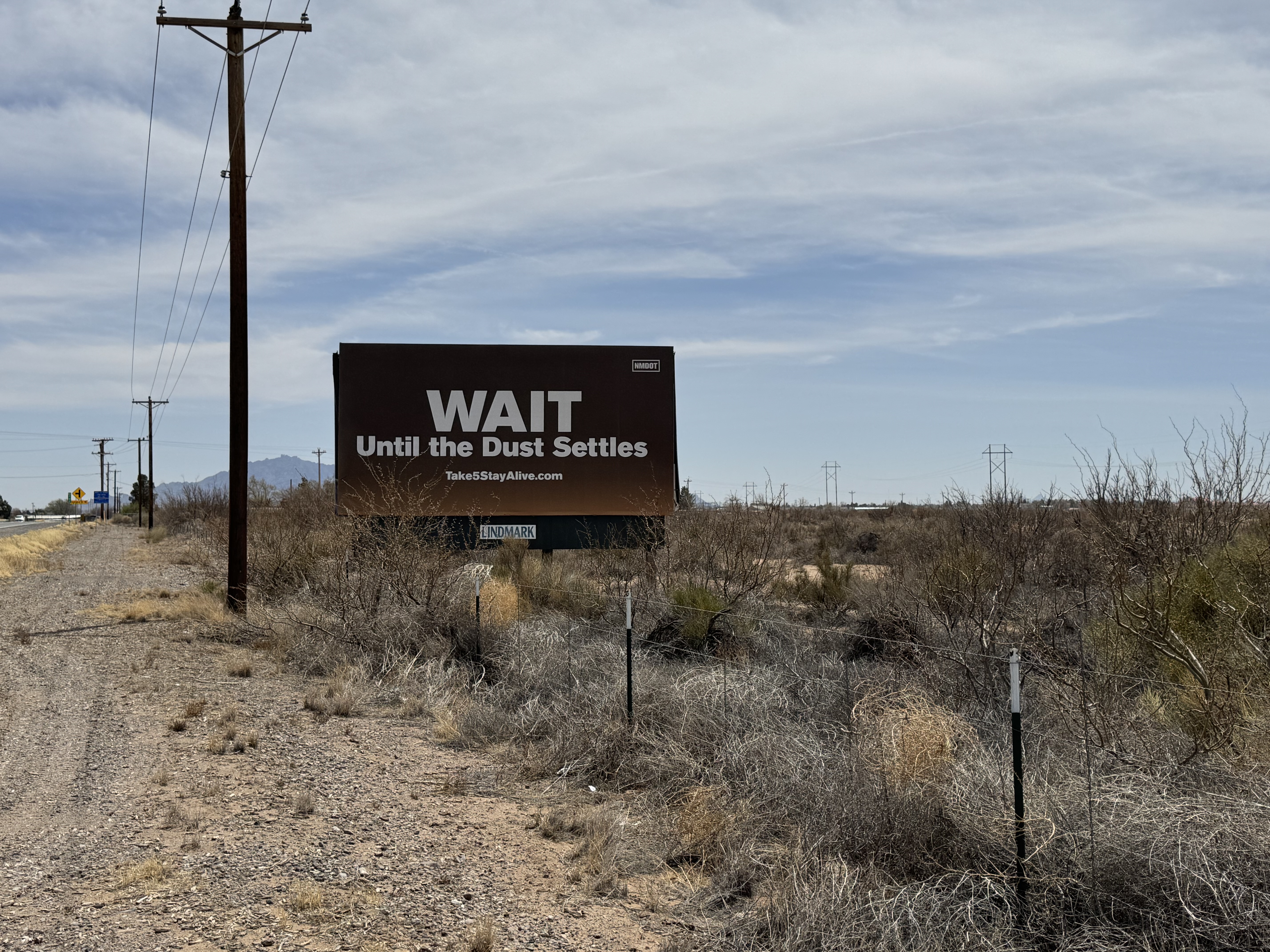
The Lordsburg Playa in southwestern New Mexico is one of the most active dust-storm corridors in the United States, with hazardous events contributing to multiple fatal crashes on Interstate 10 over the past decade. Dust storms here are shaped by a changing climate, shifting vegetation patterns, and land-surface conditions that can expose large areas of loose, dry soil. This project explores how vegetation loss, soil moisture decline, and broader desertification trends relate to dust-storm activity across the playa. By analyzing more than a decade of satellite imagery, land-cover data, and weather alerts, the research aims to better understand where dust storms originate, how conditions have changed over time, and which areas may pose the highest risk to drivers and nearby communities.

A Data-Driven Approach to Safety, Mitigation, and Planning
This site presents the project’s key findings through interactive maps and visualizations. Visitors can explore long-term trends in vegetation, soil dryness, and moisture; view hotspots where landscape changes are most pronounced; and see how these patterns align with historical dust-storm warnings and reported events. These insights will support the New Mexico Department of Transportation and other agencies as they plan targeted mitigation efforts, improve early-warning systems, and enhance public safety along I-10. The project also contributes new tools, workflows, and training resources to help transportation and environmental professionals integrate remote sensing into long-term monitoring and decision-making.